Burlington County is working on a detailed plan to improve pedestrian and bicyclist safety across its entire 820-square miles, and planners are seeking public input and insight on where enhancements are most needed.
The Burlington County Complete Network Plan is being developed by the Burlington County Regional Planning Division with the Burlington County Department of Resource Conservation and consulting group NV5. As part of the project, the county will review and analyze existing demographic, infrastructure and accident data to determine locations where pedestrians and bicyclists are most at risk.
It will also recommend specific improvements to enhance user safety, including potential new off-road pedestrian and bicycle trails.
The plan is being funded with a federal Safe Streets for All grant from the U.S. Department of Transportation. It will serve as a companion to a Regional Vision Zero plan being developed by the Delaware Valley Regional Planning Commission (DVRPC) that aims to improve traffic safety for motorists and other users across South Jersey and the Philadelphia region.
From 2021 through 2025, there were 54,414 traffic accidents in the county and 203 fatalities, according to New Jersey Department of Transportation crash data. Forty-five of the deaths were pedestrians or bicyclists.
“There is no acceptable number of fatalities or injuries, which is why we’re collaborating with DVRPC, municipal partners, and residents to develop ways we can make traveling through our county safer,” said County Commissioner Deputy Director Allison Eckel.
“This plan will review all 820 square miles of Burlington County and make recommendations on what can be done to improve safety for all users, but especially vulnerable pedestrians and bicyclists.”
Planners will analyze a variety of solutions, including the expansion of county and local trail systems and links to connect them. More than 50 miles of regional and interior park trails have already been constructed by the county, and several additional trail segments are already in various stages of planning and design.
County planners have started meetings with municipal officials and other stakeholders to discuss the Complete Network Plan and begin collecting data. Public meetings will be scheduled in the fall, but residents can provide input now via an online survey and interactive map. It allows users to specify areas of concerns, including places with poor visibility, lack of signage or traffic signals, trail gaps, dangerous crossings and locations where “near misses” occurred.
The input and data collected from residents will be incorporated into the final plan, tentatively scheduled to be completed next spring.
The Burlington County Complete Network webpage is located at https://bit.ly/CompleteNetworkPlan and includes the survey and interactive map.
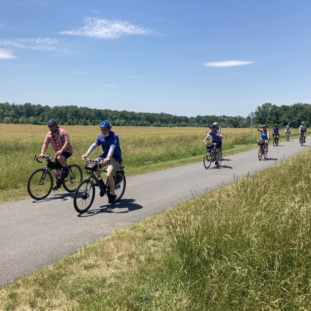
Bicyclists ride on the county’s Delaware River Heritage Trail through Crystal Lake Park in Mansfield. The trail is one of more than 50 miles of regional and interior park pathways created to enhance accessibility and improve pedestrian and bicyclist safety.

